Best GPS Devices for Hiking and Camping: Handheld, Watch and Apps
You don’t need a dedicated GPS for most day hikes. A phone app works fine. But if you’re heading into the backcountry for multiple days, navigating off-trail, or covering terrain with unreliable cell service, a dedicated handheld GPS or GPS watch becomes the difference between a solid trip and a safety risk.
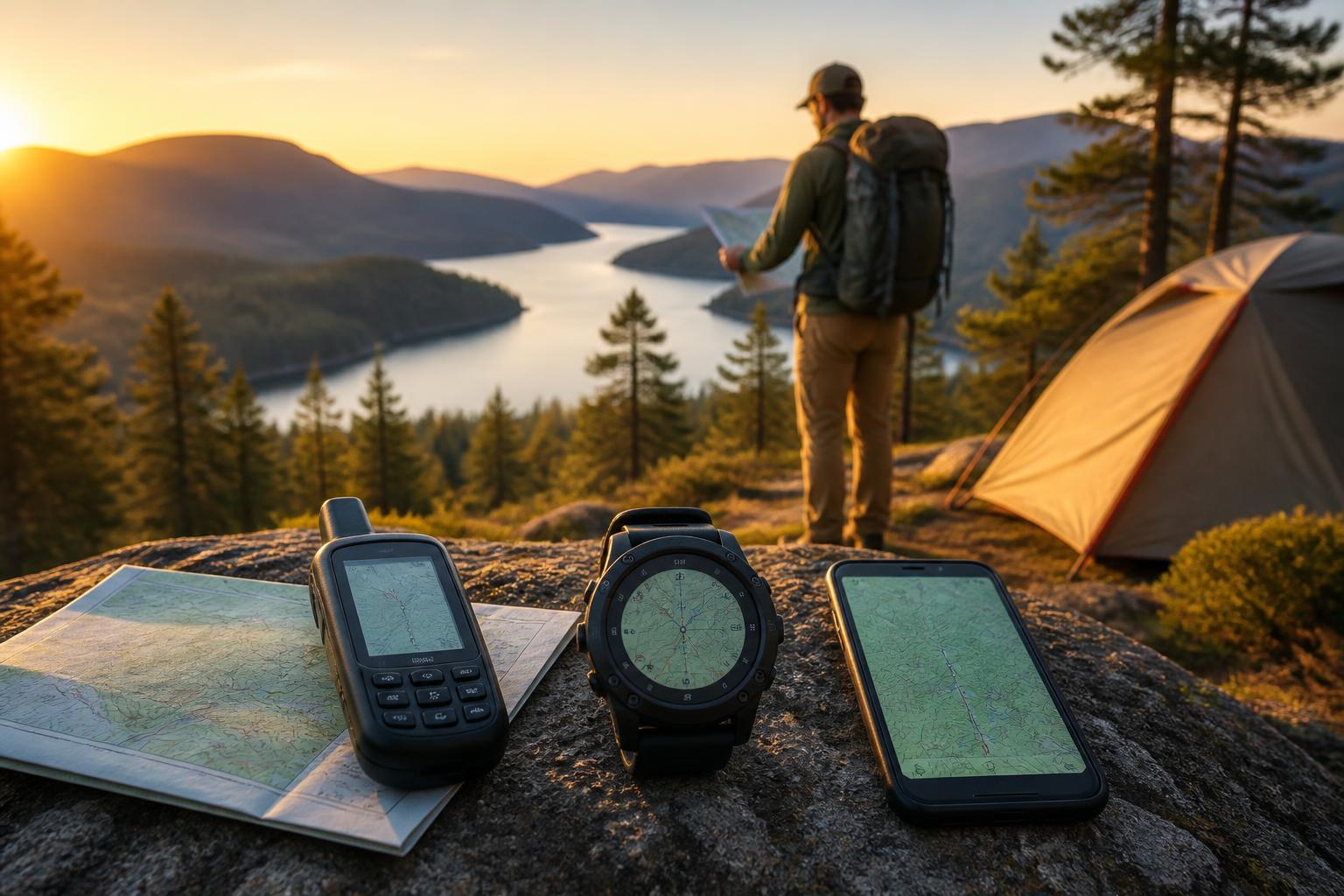
Here’s the short version: A handheld GPS gives you the most reliable navigation with replaceable batteries, physical buttons, and detailed topo maps. A GPS watch works best if you already track runs and hikes and want one device for both. A phone app is fine for well-marked trails with some cell coverage, but it fails when battery dies, you drop it in a creek, or the screen is unreadable in direct sun.
The counter-intuitive angle most guides skip: Most hikers need a satellite messenger (with two-way SOS) more than they need better maps. Navigation is rarely the emergency. Communication when things go wrong is. That means the best “GPS” for many people is actually a device like a Garmin inReach Mini 2 or Zoleo that prioritizes two-way messaging and SOS over map detail—and you pair it with your phone for the maps.
What this means for your next purchase: If you already carry paper maps and a compass for navigation, skip the expensive handheld and get a satellite messenger. If you rely on your phone for maps and don’t know how to read a topo map, get a handheld with full navigation. The choice starts with how you handle getting lost, not how you track a trail.
Quick answer
| If you… | Get this device type | Why |
|---|---|---|
| Hike off-trail in remote wilderness for 3+ days | Handheld GPS (Garmin GPSMAP 66 series or similar) | Replaceable AA batteries, physical buttons, preloaded topo maps, no phone needed |
| Want one device for daily runs and weekend backcountry trips | GPS watch (Garmin Fenix, Coros Vertix) | Lightweight on wrist, tracks fitness metrics, good battery in GPS mode |
| Follow well-marked trails and stay within cell range most of the time | Phone app (AllTrails, Gaia GPS, OnX Backcountry) | Free or cheap, good map detail, no extra device to carry |
| Need emergency SOS and two-way messaging more than detailed navigation | Satellite messenger (Garmin inReach Mini 2, Zoleo) | Compact, long battery, satellite texting + SOS, uses phone for maps |
| Want all-in-one navigation + satellite communication | Handheld with messaging (Garmin GPSMAP 67i or Montana 700i) | Full mapping plus inReach two-way SOS in one device—heavy but complete |
What to do now: If you answered “I hike alone or in remote areas” to even one trip this year, start with the satellite messenger category. The navigation gap you can fill with a phone and paper map. The SOS gap requires a subscription-based satellite device.
To confirm which device fits your typical trip: Check the manufacturer’s stated battery life in “GPS mode with 1-second refresh” not “expedition mode” for your longest planned outing. If the device can’t cover 1.5 times your longest day in that mode, you’ll need spare batteries or a power bank.
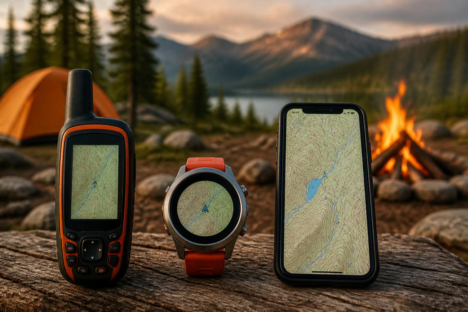
Comparison framework: Handheld vs. Watch vs. App
Each device type serves a different hiking style. The trade-off is always between battery life, map detail, weight, and emergency capability.
Handheld GPS (dedicated navigator)
– Battery: 16–60 hours on two AA lithium batteries
– Screen: 2.6–3 inch color display, readable in direct sun
– Maps: Preloaded topo, ability to load USGS quads, satellite imagery
– Navigation: True compass with bearing pointer, barometric altimeter, waypoint routing
– Durability: IPX7 waterproof, rubber-armored, works in rain and snow
– Weight: 7–10 oz with batteries
– Best for: Off-trail navigation, route planning on the device, multi-day trips without phone access
GPS watch
– Battery: 10–60 hours in GPS mode (varies hugely by model)
– Screen: 1.2–1.4 inch, often MIP for sunlight readability
– Maps: Basic breadcrumb trails on most models; high-end models (Fenix 7X, Epix 2) show full color topo
– Navigation: Course guidance, trackback, waypoint alerts; no route creation on the watch
– Durability: Water-resistant to 100m, but touchscreen can be annoying in rain
– Weight: 2–3 oz
– Best for: Runners and hikers who want one device for fitness + navigation on moderate terrain
Phone app
– Battery: 4–12 hours of continuous GPS use (drains fast in cold)
– Screen: Bright OLED, poor readability in direct sun without max brightness (kills battery faster)
– Maps: Excellent—high-res satellite, topo, trail maps from Gaia, AllTrails, OnX
– Navigation: Full route planning, offline downloads, track recording
– Durability: Not waterproof without case; glass screen cracks on rocks

- Weight: 5–7 oz (phone itself)
- Best for: Day hikes on well-signed trails where you can recharge at night
Best-fit picks by use case
Rugged backcountry navigation (multi-day, off-trail)
Get a Garmin GPSMAP 67 series or Montana 700. These are the workhorses. The GPSMAP 67 runs on two AA lithium batteries for 40+ hours. Physical buttons work with wet hands or gloves. The screen is readable at any angle. Preloaded TopoActive maps show trails, contours, water sources, and landmarks.
The GPSMAP 67i adds two-way satellite messaging and SOS. That’s the real sweet spot—you get full navigation plus emergency communication in one device. The downside is size and weight: about 8.5 oz, which matters on an ultralight pack.
Fit check: You carry a compass and paper map as backup. You’re comfortable creating a route on the device, not just following a pre-loaded track. You expect to be beyond cell phone range for three or more days.
Watch-first hikers (runs, fastpacking, day hikes)
The Garmin Fenix 7X Solar and Coros Vertix 2 lead here. The Fenix 7X runs up to 60 hours in GPS mode with solar charging. It shows color topo maps, though the small screen makes them more useful for checking junctions than navigating off-trail. The Coros Vertix 2 offers even longer battery (140 hours in GPS mode) but slightly less refined map interface.
You’re still pulling out your phone for serious route checking. The watch is more for staying on a pre-planned course and tracking your stats.
Fit check: You already run or hike regularly and want a single device. You navigate mostly on established trails. You’re willing to accept a smaller screen than a handheld.
Casual hiking (day trips, well-marked trails)
Phone apps actually beat dedicated GPS devices here. AllTrails Pro ($36/year) gives you offline access to trail maps, reviews, and condition reports. Gaia GPS ($50/year) offers better topo map layers and route planning for more serious day hikes. OnX Backcountry ($30/year) focuses on off-trail navigation with detailed land ownership data.
Download maps before you leave. Put your phone on airplane mode once you’re on trail to save battery. Carry a small power bank (5,000 mAh) to recharge overnight.
Fit check: You hike on weekends, not weeks. You’re comfortable using your phone for navigation. You carry a backup paper map and know how to read it.
Trade-offs to know
You’re paying for a subscription on every satellite device
Every device that offers two-way messaging or SOS requires a subscription. Garmin inReach plans start at $12/month for basic safety (10 texts, unlimited SOS). Zoleo costs $25 for a seasonal plan (3 months active). Activate only when you need it—these are pre-paid, not contracts.
Consequence of skipping the subscription: The device becomes a GPS receiver with no communication ability. You’re carrying extra weight for an SOS button that won’t work. If you buy an inReach Mini 2 and don’t activate the plan, it’s essentially a very expensive Bluetooth bridge to your phone for maps. Don’t make this mistake—either budget for the subscription or buy a non-messaging handheld.
Phone app navigation fails in three specific ways
- Battery drain: GPS on a phone uses 8–15% battery per hour. Cold weather triples that. A day hike becomes a battery emergency.
- Screen unreadability: Reflective LCD screens on dedicated GPS devices are designed for sunlight. Phone screens wash out unless you crank brightness (which drains more battery).
- Durability: A dropped phone on granite means a cracked screen. A handheld GPS bounces. A GPS watch stays on your wrist.
Mismatch to watch for: If you download offline maps but forget to switch your phone to airplane mode, background apps will drain battery in 3–4 hours. Test this on a short hike before a multi-day trip.
Watch GPS battery numbers are misleading
Manufacturers quote battery life in “UltraTrac” or “expedition” modes that record a GPS point every 60 seconds. Real-world navigation, where the watch refreshes your position every second, cuts battery life by 50–70%. A Fenix 7X claiming 60 hours in GPS mode gets about 20–25 hours in full navigation mode. That two-day hiking trip might require a mid-trip charge.
How to verify real battery life for your trip: On the Garmin or Coros support pages, check the “GPS mode with all systems” or “GNSS multi-band” battery spec—that’s the number closest to real-time navigation. Compare that to your planned hiking hours plus a 25% buffer. If you’re short, plan a power bank resupply or switch to a handheld with spares.
The “best” handheld screen is still small
Even a Garmin Montana 700 has a 3-inch screen. You’re not getting phone-sized maps. If you want to scroll around terrain and inspect route options, you’ll use your phone. The handheld is for real-time position, course following, and emergency communication.
Escalation signal: If you find yourself squinting at the screen for more than 30 seconds to understand your position, you need a paper map or phone app backup. The handheld is not a replacement for a map—it’s a real-time position tool that works when the map and compass aren’t enough.
Quick fit check: Do you need a dedicated GPS?
Answer these before buying. If you answer “no” to any, a phone app is likely fine.
-
Will you hike beyond cell tower range for two or more consecutive days?
Yes □ No □ — Phone battery dies. No way to recharge. -
Do you navigate off-trail using contour lines, bearings, or waypoints?
Yes □ No □ — Handheld gives you a compass bearing and barometric altitude. Phone apps struggle with precision when you’re not on a trail. -
Do you need two-way emergency communication where there is no cell service?
Yes □ No □ — If yes, get an inReach or Zoleo. This is the real reason most hikers upgrade from a phone. -
Are you willing to carry and manage spare AA batteries or a power bank beyond the first day?
Yes □ No □ — Handhelds on AAs are easy to resupply. Watches and phones require USB charging, which forces you to carry a battery pack and manage cables. -
Will you navigate in rain, snow, or temperatures below freezing for extended periods?
Yes □ No □ — Touchscreen phones fail with wet fingers and cold. Physical buttons on a handheld work in any weather.
Stop point: If you answered yes to questions 1 and 3, buy a satellite messenger regardless of everything else. If you answered yes to questions 2 and 5, buy a handheld GPS. If you answered no to all five, save your money and use your phone.
Related questions
Can I just use my phone as a GPS for hiking?
Yes, for day hikes on marked trails. Download offline maps in AllTrails or Gaia GPS before you leave, put your phone on airplane mode, and carry a small power bank. For multi-day backcountry trips, off-trail navigation, or any hike where getting lost could mean a survival situation, add a dedicated GPS or satellite messenger.
What’s the difference between a GPS watch and a handheld GPS for hiking?
A watch is lighter and great for staying on a pre-planned route, but its small screen makes detailed navigation frustrating. A handheld shows full topo maps and allows route creation on the device. Watches also have shorter battery life when actually navigating in real time.
Do I need a subscription for a GPS hiking device?
Only if the device includes satellite messaging or SOS. Garmin inReach devices, Zoleo, and the GPSMAP 67i all require an active subscription for two-way texting and emergency features. Handheld GPS units without satellite communication (like the standard GPSMAP 67) have no subscription fees—you buy the maps once.
Should I get a GPS or a satellite messenger if I hike alone?
Get a satellite messenger first (Garmin inReach Mini 2 or Zoleo). Navigation you can solve with maps and a compass. Emergency communication when you’re injured or lost can’t be replaced by anything else. Pair the messenger with a phone app for maps and you cover both navigation and safety without the bulk of a full handheld GPS.
Camping Bob has spent over 20 years camping across the US — from BLM dispersed sites in the Southwest to KOA campgrounds in the Pacific Northwest. He writes practical, no-nonsense guides to help fellow campers get outdoors with confidence.